Drone mapping outputs
Before a job starts, you pick what it should produce. Six outputs are available, each shown as a card with a preview and its download format.
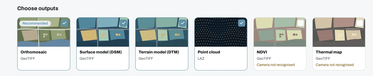
The six outputs
- Orthomosaic map
GeoTIFFA georeferenced aerial map. Marked Recommended, and the one to pick if you are unsure. - Digital Surface Model (DSM)
GeoTIFFSurface height, including buildings and vegetation. - Digital Terrain Model (DTM)
GeoTIFFBare ground height, with objects filtered out. - 3D point cloud
LAZThe site as millions of coloured 3D points. - NDVI vegetation map
GeoTIFFA vegetation health index map. Needs multispectral imagery and a Pro plan. - Thermal map
GeoTIFFA surface temperature map. Needs radiometric imagery and a Pro plan.
Cards you cannot select
If the quality check does not find a matching sensor in your images, the NDVI and thermal cards stay disabled and are labelled Camera not recognised. This is not a setting you can override: the data simply is not in the files. See image requirements.
Choosing
- Working with heights? DSM and DTM are separate outputs, so select both if you want to compare them.
- Need volumes? Volume measurement in the viewer is computed from the DSM, so select it.
- Mixed sets are fine. RGB and multispectral or thermal images can go into one project, and each sensor is processed into its own layer.
- More outputs means a longer job, since each is generated from the same reconstruction.
Tip
Select everything you might need in one go. A project can only be reprocessed once, and only while the raw images are still stored.
You also set a quality level, which controls the resolution of the result.